Arab Satellite 813 Completes Post-Launch Assessment, Advancing Regional Earth Observation Capabilities

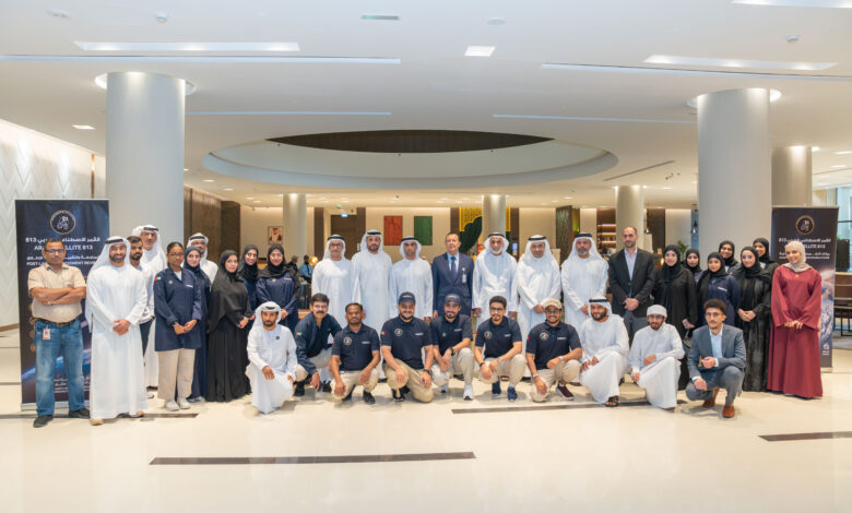
First joint Arab Earth observation satellite successfully completes Post-Launch Assessment Review (PLAR) following launch and commissioning
Arab Satellite 813, the first joint Arab satellite dedicated to Earth observation and environmental and climate studies, has successfully completed its Post-Launch Assessment Review (PLAR), marking a significant milestone in the mission’s development. Funded by the UAE Space Agency, the mission aims to advance regional scientific cooperation and strengthen Earth observation capabilities across the Arab world.
Led by the National Space Science and Technology Center (NSSTC) at United Arab Emirates University (UAEU), Arab Satellite 813 is operated from NSSTC in Al Ain, UAE, highlighting the UAE’s growing end-to-end capabilities across the satellite lifecycle, from development and testing through to launch and operations. It also reflects continued progress in strengthening national technical expertise, advancing sovereign space capabilities and building the country’s capacity to manage complex space missions.
H.E. Eng. Salem Butti Al Qubaisi, Director General of the UAE Space Agency, said: “The successful completion of Arab Satellite 813’s post-launch assessment marks an important step in our efforts to strengthen Arab cooperation in the space sector and translate our collective capabilities into tangible scientific and economic value. This mission demonstrates what we can achieve by bringing together expertise and resources from across the Arab world, while building the advanced capabilities needed to address shared regional priorities.
“Earth observation plays an increasingly important role in understanding environmental change, managing natural resources and strengthening resilience to climate challenges. Through Arab Satellite 813, we will expand access to these capabilities, empower researchers and scientific institutions, and support the development of practical solutions. This milestone reflects the UAE’s commitment to advancing regional space cooperation and ensuring that investment in space delivers lasting value on Earth.”
From development and testing to mission operations
Arab Satellite 813 was launched on 10 December 2025, following the successful completion of its full testing campaign at NSSTC in Al Ain, UAE. The satellite subsequently completed its Launch and Early Orbit Phase (LEOP) and commissioning activities, which included technical assessments of its health, onboard systems and scientific instruments under actual space conditions.
During commissioning, the satellite captured several images for testing and calibration purposes, supporting the validation of its imaging capabilities. The successful completion of the Post-Launch Assessment Review (PLAR) marks the culmination of these technical milestones and an important step towards fulfilling the mission’s scientific objectives.
The satellite is designed to support applications including precision agriculture, water resource management, environmental and climate monitoring, marine and coastal studies, disaster risk management, and geological mapping. Its scientific instruments enable detailed analysis of the Earth’s surface, providing valuable data to support research and practical applications addressing shared regional challenges.
Bringing together expertise from 14 countries through the Arab Space Cooperation Group, the mission aims to strengthen scientific collaboration and expand access to Earth observation data among participating Arab countries.
Advanced imaging capabilities for scientific research
Arab Satellite 813 carries three complementary scientific instruments: a Hyperspectral Imager (HSI), a Panchromatic Camera (PAN) and an Atmospheric Polarimeter (AP).
Its Hyperspectral Imager captures data across 205 spectral bands, enabling detailed analysis of the Earth’s surface. The Panchromatic Camera complements these capabilities, ideal for applications requiring sharp visual clarity, such as detailed mapping, while the Atmospheric Polarimeter supports onboard atmospheric correction to enhance the scientific use of the satellite’s observations.
These instruments will support researchers in monitoring environmental changes, assessing natural resources and developing applications that address regional climate and sustainability challenges.
Arab Satellite 813 will make its scientific data available to member countries of the Arab Space Cooperation Group, supporting collaborative research and knowledge exchange. The mission will also contribute to developing regional expertise in satellite engineering, Earth observation and space-based scientific research.